Shifting Monsoon Patterns
Source: The Hindu
Introduction:
- The IMD counts the rainfall between June 1 & September 30 as monsoon rainfall. This doesn't mean that the monsoon system ceases from October 1.
- Monsoon-related rain can continue well into the first fortnight of October.
- It is then replaced by the retreating or northeast monsoon in November.
| IMD reported that the monsoon has begun to retreat from Rajasthan. |
Monsoon Withdrawl:
- Monsoon is a sea breeze that consistently landed in India for thousands of years.
- It enters India between the last week of June, though June 1st is the official onset date over Kerala.
- Monsoon-related rain can continue till October & then be replaced by retreating / northeast monsoon in November which is a key source of rainfall in places like Tamil Nadu, Andhra Pradesh, and the north interior of Karnataka.
- Monsoon begins its withdrawal from the last state it reaches, which is Rajasthan.
- The cyclonic system from the Arabian Sea, and the Bay of Bengal that fuels the monsoon from June-September is replaced by an 'anti-cyclone' circulation which means dry, windless conditions start to prevail over western & Northern India.
- Technically, withdrawal is a cessation of rainfall activity over NW India for 5 straight days, an anti-cyclone establishing itself in the lower troposphere.
| A day after IMD announced the withdrawal, torrential rains began in several parts of North India. |
Monsoon 2022:
- Monsoon in India has been surplus by around 7% this year, though with extreme inequality.
- Central & Southern India saw a sharp surge in rainfall.
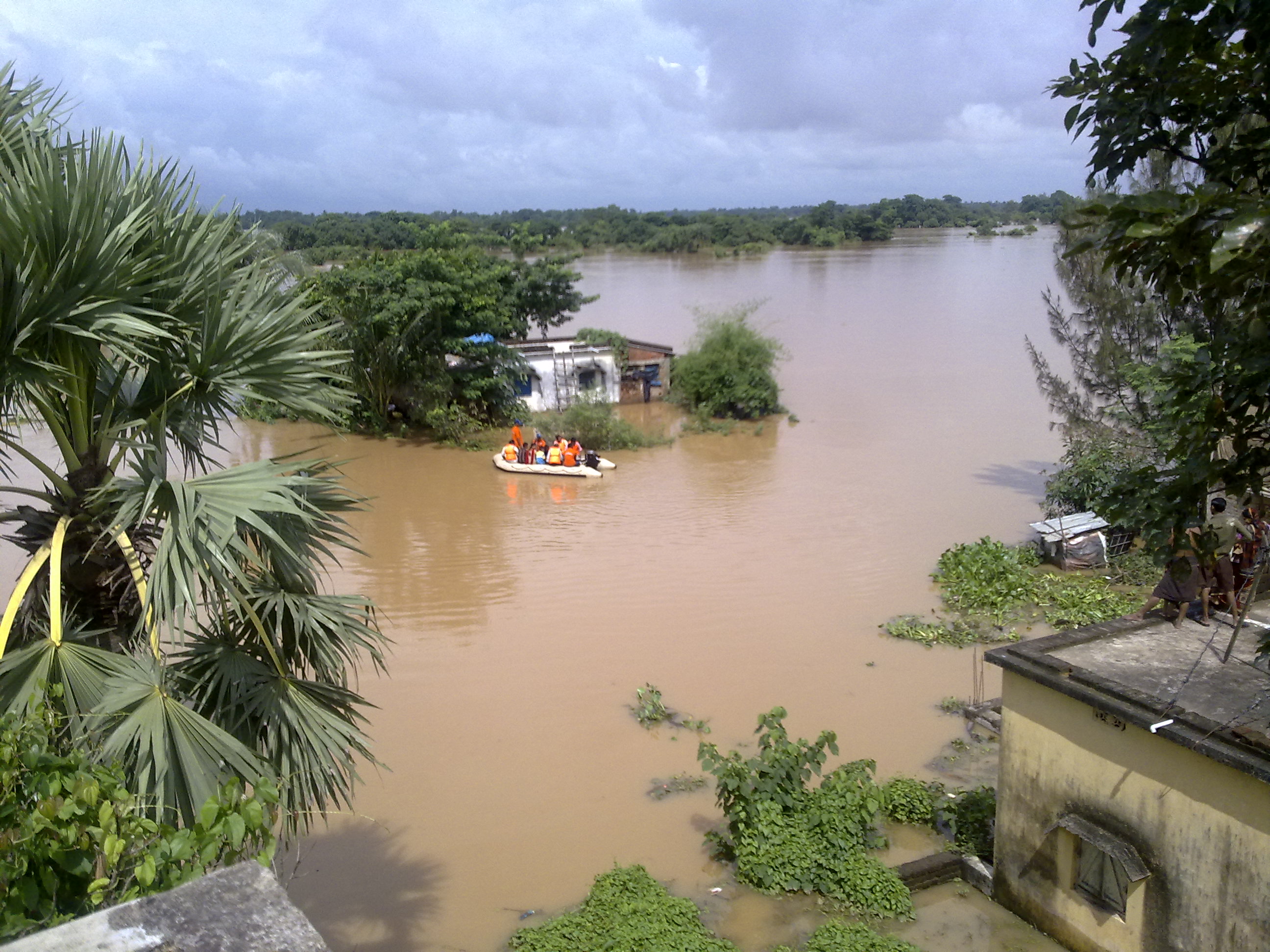
- Rains in Central India were surplus by 20%, Southern India by 25%, with floods in Kerala, Karnataka, and Madhya Pradesh.
- On the other hand, large parts of UP, Bihar, and Odisha have seen large deficits.
- The east & northeast India have reported a 17% shortfall, north-west 2%.
- This impacted the sowing of the Kharif/summer crop.
- According to Agriculture Ministry, there was a decrease of 5.51% of paddy sown & a minimum of 6 million tonnes shortfall in rice production is expected.
Excessive rainfall:
- Central India and the southern peninsula were expected to get 6% more than their historical average but they faced far more than this.
- These heavy rains are premised on a La Nina, the converse phenomenon of El Nino, characterised by cooler than normal sea surface temperatures in the central Pacific.
- El Ninas are linked to reduced rains over India, La Ninas indicate surplus rainfall.
- India is facing an extended spell of the La Nina, called a 'triple dip' La Nina, a phenomenon lasting across three winter seasons in Northern Hemisphere.
| Since 1950, this is the third time that a triple-dip La Nina has been observed. |
Change in Monsoon pattern:
- Since 2019, monsoon in India has returned surpluses, barring a slight dip in 2021.
- The June-September rainfall in 2019 was 10% more than 88cm that India usually gets.
- Though June saw deficit rain, July & August returned extra rain, with September registering 52% more rain than normal.
- In 2020, India saw 9% more rain with August registering 27% more rain & September 4% more than its usual quota.
- In 2021, the overall rainfall was 1% less than normal though rainfall in September was a remarkable 35% above usual.
- This year the monsoon is surplus by about 6% & a vigorous September is likely to see India post yet another year of surplus rain.
- Three years of above-normal rain in a block of 4years is unprecedented in more than a century of IMD's record.


